Garmin StreetPilot c510 Manuale d'uso - Pagina 11

Sfoglia online o scarica il pdf Manuale d'uso per Sistema di navigazione per auto Garmin StreetPilot c510. Garmin StreetPilot c510 42. Declaration of conformity
Anche per Garmin StreetPilot c510: Scheda informativa sul prodotto (2 pagine), Manuale d'uso (44 pagine), Informazioni sul prodotto (4 pagine), Informazioni sul prodotto (36 pagine), Dichiarazione di conformità (1 pagine), Caratteristiche (2 pagine)
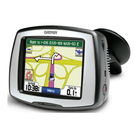
Garmin StreetPilot c510 Manuale d'uso
Step 2: Configuring the c510
To turn on your c510, press and hold the
Follow the on-screen instructions to configure your c510.

Step 3: Acquiring Satellites

Go outdoors to an open area, away from tall buildings and trees. Turn on the c510.
Acquiring satellite signals may take 30–60 seconds.
The
bars in the upper-left corner indicate satellite strength. When the bars are
green, your c510 has acquired satellite signals; you can find your destination and go
to it.

Step 4: Using the c510

Touch to find a destination.
A
Touch to view the map.
B
Touch to view traffic incidents, when an
C
FM traffic receiver is connected.
Touch to adjust the c510's settings.
D
Touch to adjust the brightness of the
E
screen.
c510 Owner's Manual
Power button on the side of the unit.
A
B
G
S
ETTING
TARTED
C
D
E
3