Garmin StreetPilot c510 Gebruikershandleiding - Pagina 11

Blader online of download pdf Gebruikershandleiding voor {categorie_naam} Garmin StreetPilot c510. Garmin StreetPilot c510 42 pagina's. Declaration of conformity
Ook voor Garmin StreetPilot c510: Productinformatieblad (2 pagina's), Gebruikershandleiding (44 pagina's), Productinformatie (4 pagina's), Productinformatie (36 pagina's), Conformiteitsverklaring (1 pagina's), Kenmerken (2 pagina's)
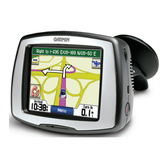
Garmin StreetPilot c510 Gebruikershandleiding
Step 2: Configuring the c510
To turn on your c510, press and hold the
Follow the on-screen instructions to configure your c510.

Step 3: Acquiring Satellites

Go outdoors to an open area, away from tall buildings and trees. Turn on the c510.
Acquiring satellite signals may take 30–60 seconds.
The
bars in the upper-left corner indicate satellite strength. When the bars are
green, your c510 has acquired satellite signals; you can find your destination and go
to it.

Step 4: Using the c510

Touch to find a destination.
A
Touch to view the map.
B
Touch to view traffic incidents, when an
C
FM traffic receiver is connected.
Touch to adjust the c510's settings.
D
Touch to adjust the brightness of the
E
screen.
c510 Owner's Manual
Power button on the side of the unit.
A
B
G
S
ETTING
TARTED
C
D
E
3