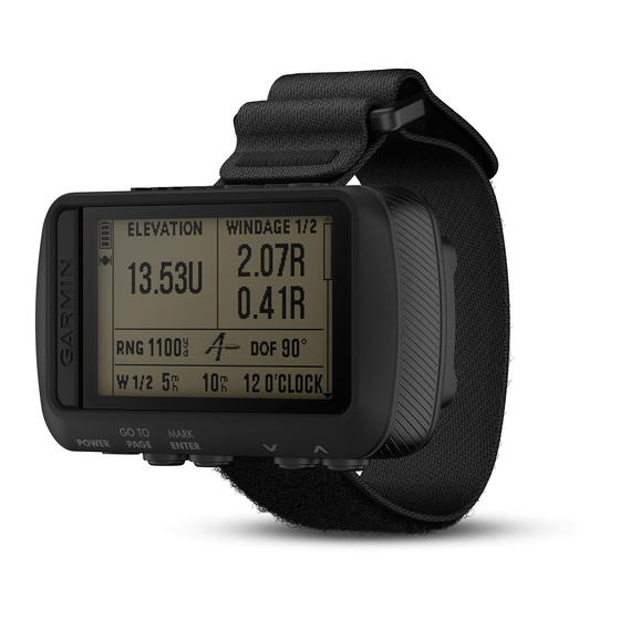
Garmin FORETREX 601 BALLISTIC EDITION 소유자 매뉴얼 - 페이지 11
{카테고리_이름} Garmin FORETREX 601 BALLISTIC EDITION에 대한 소유자 매뉴얼을 온라인으로 검색하거나 PDF를 다운로드하세요. Garmin FORETREX 601 BALLISTIC EDITION 30 페이지. Ballistic edition
Garmin FORETREX 601 BALLISTIC EDITION에 대해서도 마찬가지입니다: 소유자 매뉴얼 (18 페이지)
Measuring the Distance Between Two Waypoints
You can measure the distance between two locations.
1 From the map page, select ENTER > MEASURE DISTANCE.
2 Select FROM:, and select a starting waypoint.
3 Select TO:, and select an ending waypoint.
4 Select ESTIMATED SPEED:.
5 Select ENTER to select a digit.
6 Select
or
to edit the speed.
7 Select OK?.
The total distance between the two waypoints and the estimated travel time appear.
Editing a Waypoint
1 From the menu page, select WAYPOINTS > LIST ALL.
2 Select a waypoint.
3 Select
or
to scroll through the symbol, elevation, latitude, and longitude.
4 Select ENTER to edit the symbol, elevation, latitude, or longitude.
5 Select an option:
• To change the symbol, select the waypoint symbol from the list.
• To change the elevation, latitude, or longitude, follow the on-screen instructions.
Projecting a Waypoint
You can create a new waypoint by projecting the distance and bearing from an existing waypoint to a new
location.
1 From the menu page, select WAYPOINTS > LIST ALL.
2 Select a waypoint.
3 Select OPTIONS > PROJECT.
4 Enter the distance.
5 Enter the bearing.
6 Select OK?.
Deleting a Waypoint
1 From the menu page, select WAYPOINTS > LIST ALL.
2 Select a waypoint.
3 Select DELETE > YES.
Deleting All Waypoints
From the menu page, select SETUP > RESET > DELETE ALL WAYPOINTS > YES.
Waypoints, Routes, and Tracks
7