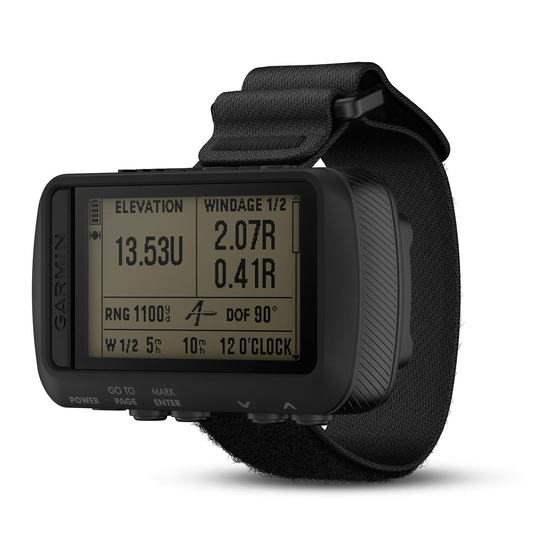
Garmin FORETREX 601 BALLISTIC EDITION Manual do Proprietário - Página 11
Procurar online ou descarregar pdf Manual do Proprietário para Ver Garmin FORETREX 601 BALLISTIC EDITION. Garmin FORETREX 601 BALLISTIC EDITION 30 páginas. Ballistic edition
Também para Garmin FORETREX 601 BALLISTIC EDITION: Manual do Proprietário (18 páginas)
Measuring the Distance Between Two Waypoints
You can measure the distance between two locations.
1 From the map page, select ENTER > MEASURE DISTANCE.
2 Select FROM:, and select a starting waypoint.
3 Select TO:, and select an ending waypoint.
4 Select ESTIMATED SPEED:.
5 Select ENTER to select a digit.
6 Select
or
to edit the speed.
7 Select OK?.
The total distance between the two waypoints and the estimated travel time appear.
Editing a Waypoint
1 From the menu page, select WAYPOINTS > LIST ALL.
2 Select a waypoint.
3 Select
or
to scroll through the symbol, elevation, latitude, and longitude.
4 Select ENTER to edit the symbol, elevation, latitude, or longitude.
5 Select an option:
• To change the symbol, select the waypoint symbol from the list.
• To change the elevation, latitude, or longitude, follow the on-screen instructions.
Projecting a Waypoint
You can create a new waypoint by projecting the distance and bearing from an existing waypoint to a new
location.
1 From the menu page, select WAYPOINTS > LIST ALL.
2 Select a waypoint.
3 Select OPTIONS > PROJECT.
4 Enter the distance.
5 Enter the bearing.
6 Select OK?.
Deleting a Waypoint
1 From the menu page, select WAYPOINTS > LIST ALL.
2 Select a waypoint.
3 Select DELETE > YES.
Deleting All Waypoints
From the menu page, select SETUP > RESET > DELETE ALL WAYPOINTS > YES.
Waypoints, Routes, and Tracks
7