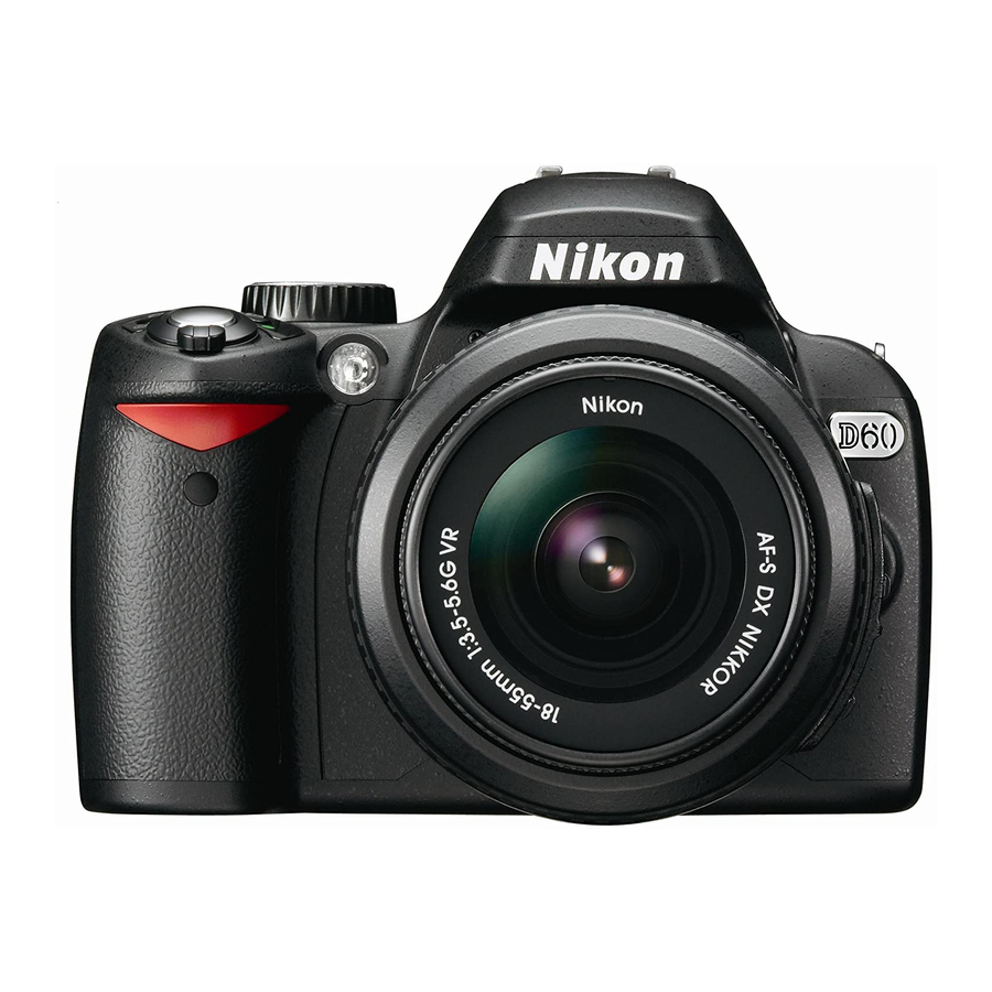
Nikon D90 - Digital Camera SLR 운영 매뉴얼 - 페이지 14
{카테고리_이름} Nikon D90 - Digital Camera SLR에 대한 운영 매뉴얼을 온라인으로 검색하거나 PDF를 다운로드하세요. Nikon D90 - Digital Camera SLR 20 페이지. Focal digital camera
Nikon D90 - Digital Camera SLR에 대해서도 마찬가지입니다: 브로셔 및 사양 (9 페이지), 사양 (2 페이지), 사용자 설명서 (26 페이지), 체크리스트 및 운영 매뉴얼 (25 페이지), 매뉴얼 (28 페이지), 방법 (6 페이지), 매뉴얼 (30 페이지)

2.1 Identify Customer Requirements
The flight crew needs the following information to assure successful acquisition of the
aerial photographs required by the customer:
Type of mission. The major types are:
Spot Photography
Route Photography
Photographic Mapping
Location
Target location(s) for spot photography
Beginning and end of a route (highway, shoreline, river)
o Percent of successive photo overlap
Corner point coordinates defining area for photographic mapping
o Amounts of successive photo overlap and parallel photo overlap
Ground level coverage of each photograph (how many feet wide and how many feet deep)
Camera pointing angle (how many degrees down from the horizontal)
Resolution at ground level at the center of the photograph
2.2 Translate customer requirements into specific photographic shooting parameters to
include:
Altitude above ground (AGL)
Aircraft speed
Camera pointing angle
Lens focal length
Time between photographs (required for route photography and photographic mapping)
Altitude above ground level (AGL)
1200 feet AGL is an ideal altitude for aerial photography; the closer to the ground, the
less build-up of haze and thus a clearer photograph. Higher altitudes allow for more
ground coverage per picture but at lower ground resolution.
Aircraft Speed
At 90 Knots, the aircraft moves 150 feet per second. This is a good speed for aerial
photography.
14
2.0 Pre-Mission Planning
