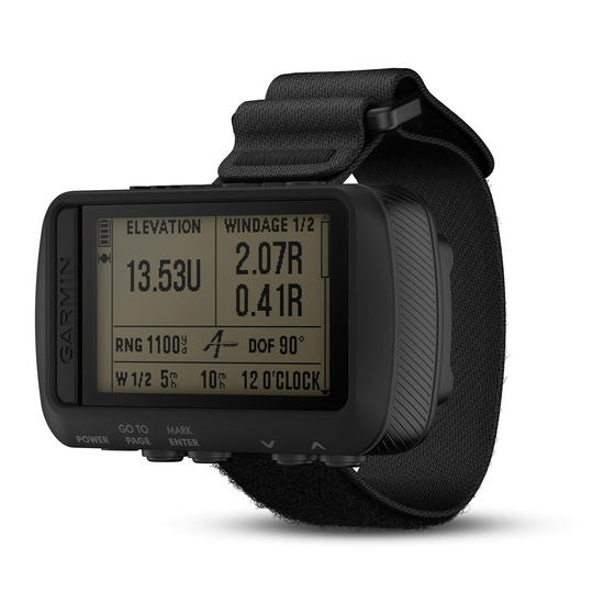
Garmin FORETREX 601 BALLISTIC EDITION Instrukcja obsługi - Strona 18
Przeglądaj online lub pobierz pdf Instrukcja obsługi dla Oglądaj Garmin FORETREX 601 BALLISTIC EDITION. Garmin FORETREX 601 BALLISTIC EDITION 30 stron. Ballistic edition
Również dla Garmin FORETREX 601 BALLISTIC EDITION: Instrukcja obsługi (18 strony)

Menu Page Options
WAYPOINTS: Allows you to create a new waypoint, list all waypoints, or view the nearest waypoint to your
location.
TRACKS: Allows you to manage your saved tracks.
ROUTES: Allows you to create a new route, list all routes, and delete all routes.
SETUP: Allows you to customize the device
CONNECT: Allows you to connect to compatible Garmin devices and ANT+
Accessories,
page 16).
PHONE: Allows you to pair a smartphone with your device
GPS: Displays the satellite signal strength or the satellite sky view
JUMPMASTER: Allows you to select the jump type
Device Settings
From the menu page, select SETUP.
APPLIED BALLISTICS: Allows you to customize the atmospheric conditions for your environment, shooting
conditions for your target, gun and bullet properties for your profile, output units of measure for your profile,
and input units of measure for the Applied Ballistics page
NOTE: This feature is available only on the Foretrex 701 device.
TIME: Sets the device to display time in a 12-hour, 24-hour, or military format, and sets the time zone for the
device. The AUTOMATIC option allows the device to set the time zone automatically based on your GPS
position.
TIMER: Enables the timer page and allows you to set timer preferences
DISPLAY: Adjusts the backlight timeout and display contrast.
UNITS: Sets the position format, map datum, and units of measure used on the device.
HEADING: Sets the compass display setting and north reference, and allows you to manually calibrate the
compass
(Calibrating the Compass,
the compass. The OFF option turns off the compass.
SYSTEM: Sets system preferences
TRACKS: Sets track preferences
ROUTES: Sets the transition from one point on the route to the next. The DISTANCE option routes you to the
next point on the route when you are within a specified distance of your current point.
MAP: Sets map preferences
ALTIMETER: Enables auto calibration, and allows you to manually calibrate the altimeter
Barometric Altimeter,
page 11).
RESET: Allows you to reset trip data
All Waypoints,
page 7), and restore the device to factory default settings
page 21).
ABOUT FORETREX: Allows you to view device information, such as the unit ID, software version, regulatory
information, and license agreement
Timer Settings
From the menu page, select SETUP > TIMER.
SHOW TIMER PAGE?: Enables the timer page.
COUNT DOWN FROM:: Sets the time increment for the countdown timer. You can use the COUNT UP option to
use the timer as a stopwatch.
WHEN EXPIRED:: Sets the timer to stop, count up, or repeat when the time expires.
EXPIRED TONE:: Sets the audible alert that sounds when the time expires.
INTERVAL TONE:: Sets the audible alert that sounds when the interval time expires.
14
(Device Settings,
(Jumpmaster,
page 10). The AUTO option allows the device to automatically calibrate
(System Settings,
page 15).
(Tracks Settings,
page 15).
(Map Settings,
page 15).
(Resetting the Trip Computer,
(Viewing Device Information,
page 14).
sensors
®
(Pairing a Smartphone with Your Device,
(Viewing Satellites,
page 15).
(Applied Ballistics Options,
(Timer Settings,
page 11), delete all waypoints
(Restoring All Default Settings,
page 17).
(Optional Fitness
page 16).
page 17).
page 11).
page 14).
(Calibrating the
(Deleting
Customizing Your Device
