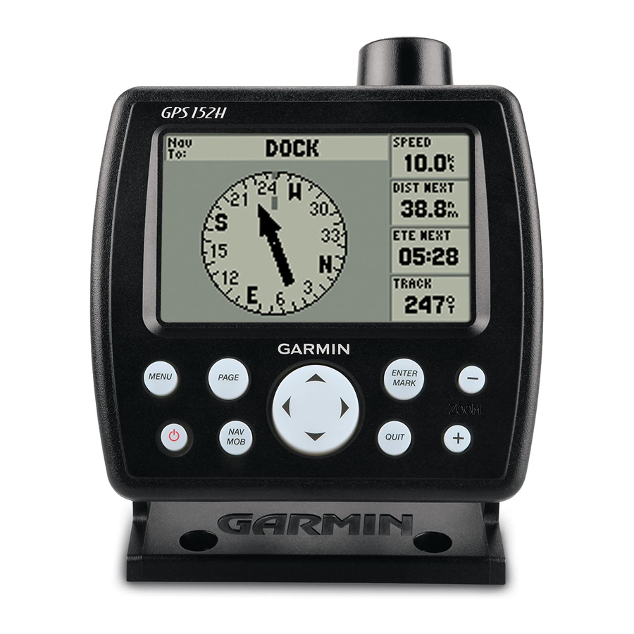
Garmin GPS 152H Kullanıcı El Kitabı - Sayfa 15
Deniz GPS Sistemi Garmin GPS 152H için çevrimiçi göz atın veya pdf Kullanıcı El Kitabı indirin. Garmin GPS 152H 32 sayfaları. Declaration of conformity
Ayrıca Garmin GPS 152H için: Hızlı Başlangıç Kılavuzu (49 sayfalar), Kurulum Talimatları Kılavuzu (36 sayfalar), Önemli Güvenlik Bilgileri (48 sayfalar), Uygunluk Beyanı (6 sayfalar)
3. Select a data field to change.
4. Select the new field you want shown.
•
Full Screen Map On (or Off)—hides or shows the data fields
from all main pages (except the Active Route page).
•
Loran TD On (or Off)—allows you to convert GPS
coordinates to Loran (Long Range Navigation) TDs. This
system is no longer a primary source of maritime navigation
and should not normally be used. Refer to the U.S. Coast
Guard site at
www.navcen.uscg.gov/loran/default.htm
additional information.
•
Configure Map—takes you to the Map tab (see
the Settings menu.
•
Measure Distance—allows you to measure the distance and
bearing between two points on the Map Page.
To measure the distance and bearing between two points:
1. From the Map page, press
2. Use the
Rocker
to move the pointer (indicated by "ENT REF") to
the point you want to measure from, and press Enter.
GPS 152H Owner's Manual
page
Menu
and select
Measure
Distance.
3. Move the pointer to the point to which you want to measure. The
bearing, the distance, and the grid coordinates are displayed
along the top of the screen.
Start Simulator—turns the GPS receiver off for use indoors or for
practice using the chartplotter
Hide Tracks—shows or hides tracks
Create on Map—creates a route as described on
is available only when you are not currently navigating a route.
for
Invert—reverses a route
13) of
Plan Route—allows you to enter the boat speed, the fuel flow and
the departure time and date when planning a route.
Re-evaluate—recalculates and reactivates the current route data.
Using the Settings Menu
The Settings menu can be viewed from any of the Main pages by
pressing
Menu
twice.
Using the Waypoints Tab
From any Main page, press
See
page 3
for more information concerning creating and editing
waypoints and proximity alarms.
(page
23).
(page
8) on the Highway page.
page
(page
8).
Menu
twice and highlight Wpt.
Settings
7. This option
11