- ページ 9

アビオニクス・ディスプレイ Garmin GNS 430のPDF 取扱説明書をオンラインで閲覧またはダウンロードできます。Garmin GNS 430 27 ページ。 Friendlypanels gps for microsoft fs9 & fsx
Garmin GNS 430 にも: パイロット・マニュアル (22 ページ), 取扱説明書 (6 ページ), パイロット・マニュアル補遺 (27 ページ), パイロット・マニュアル補遺 (4 ページ), クイック・リファレンス (23 ページ), パイロット・マニュアル補遺 (22 ページ), 仕様 (2 ページ), パイロット・オペレーション・ハンドブック (10 ページ), クイック・リファレンス (17 ページ)
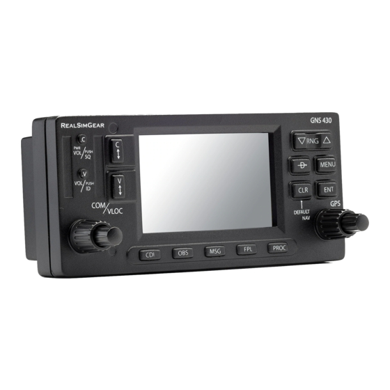
Garmin GNS 430 取扱説明書
Map Panning
Another Map Page function is panning, which allows the map to move beyond its
current limits without adjusting the map range when map orientation is North Up.
When the panning function is selected (by pressing the small right knob while map
orientation is North Up), large and small right knob is used to move the map left or right
and up or down. MAP PANNING is displayed in the top of the map screen while this
mode is active. Pressing CLR while MAP PANNING is displayed in the top reset the
pan to the center position.
To change NAVAIDS displayed:
1. From the Map Page Menu, turn the large right knob to highlight 'Setup Map?'
and press the ENT Key.
2. Turn the large right knob to select 'NAVAID' and press the ENT Key.
3. Using large right knob select desired NAVAID to turn on or off, select off or on
with small right knob and press ENT.
Selecting Full Screen Map
The 'Data Fields Off?' option provides a full-screen Map Display, without the four data
fields along the right-hand side of the screen. Select this option to display a larger map
area. If this option has been selected and the data fields are off, 'Data Fields On?'
appears as an option instead in the page menu.
Selecting Desired On-Screen Data
'Change Fields?' allows selection of the data displayed on the four user-selectable data
fields along the righthand side of the Map Page. There are eleven available data types,
as descrbed in DEFAULT NAV PAGE above. Refer to that section to see how to
change the fields.